
ENVIRONMENTAL STUDIES
Understanding the country first
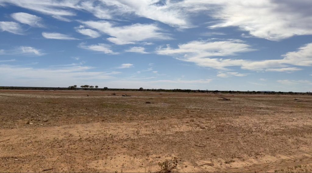
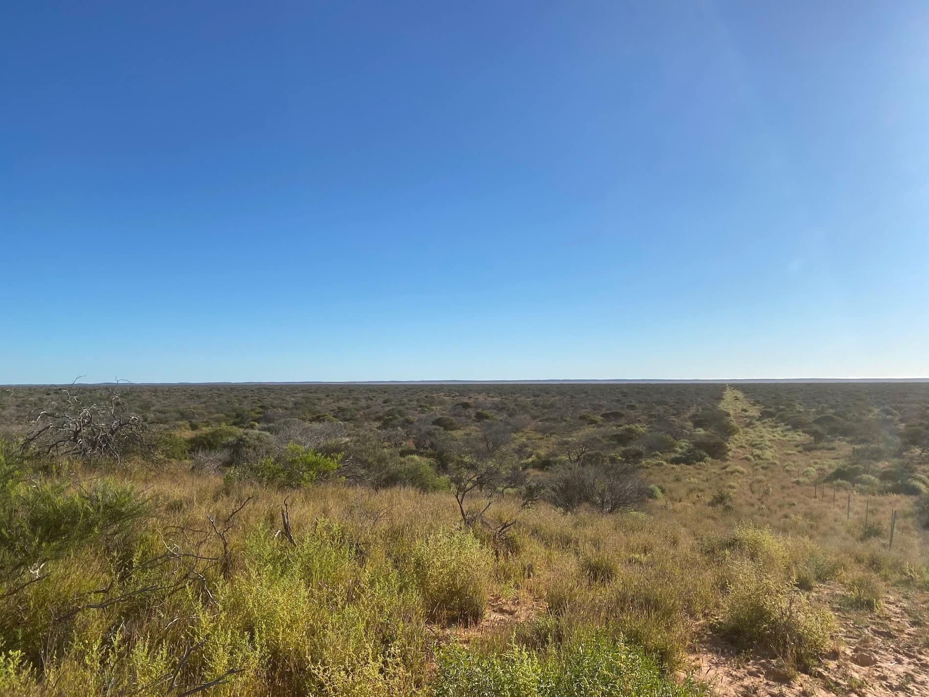
Boolathana is typical of the rangelands of the Gascoyne: a flat coastal plain of Acacia shrubland, saltbush, dune systems and saline claypans, grazed as a cattle station for more than a century. That terrain allows turbines and arrays to be laid out with minimal clearing and sited around sensitive ground as survey identifies it. At full development, clearing is estimated at under 5% of the landholding.
Specialist advice has shaped the project’s environmental pathway from the outset. Preston Consulting, a leading provider of approval and environmental services in Western Australia, has led the assessment, with marine specialists O2 Marine and O2 Metocean, and Spectrum Ecology conducting the terrestrial survey programme.

What the assessment found
Preston Consulting completed a Red Flag Multi-Criteria Assessment in September 2023 – delivering a structured screen of potential impacts, prepared to industry best practice. It found no constraint that would, on a desktop basis, preclude a green energy project on Boolathana.
It also identified where the work would be. Five matters remain subject to full assessment under State and Commonwealth law: benthic communities and habitat, marine fauna, marine water quality, proximity to Lake MacLeod, and brine and bitterns disposal.
Preston Consulting and O2 Marine set out a schedule of studies aligned to the Environmental Protection Authority’s assessment protocols, built around those five.
63
quadrats
277 km
traverses
184
plant taxa
3,080
trap nights
Surveyed not assumed
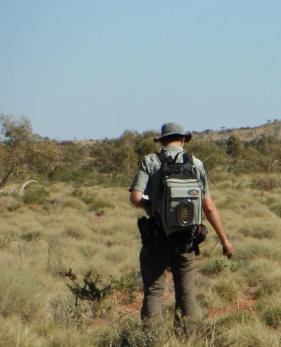
Spectrum Ecology has completed detailed flora, vegetation and terrestrial fauna surveys across the downstream development envelope, in two seasons as the Environmental Protection Authority’s guidance requires – post-wet-season in autumn and a supplementary survey in spring, in March–April and September–October 2025.
What the flora survey found
What the fauna survey found
The fauna survey ran 3,080 trap nights across six systematic sites, more than 30 hours of bird census, motion cameras, bat recorders, nocturnal searches and targeted shorebird counts. It recorded 130 vertebrate species across four habitat types – open shrubland, coastal dunes, saline plain and intertidal zone.
The surveys recorded eight significant species, most of them migratory shorebirds and seabirds using the intertidal zone and the saline plain when it holds water: Greater Sand Plover, Sanderling, Red-necked Stint, four tern species, Osprey and Peregrine Falcon.
Where care is needed
Spectrum’s conclusion is that the survey area supports a diverse but regionally typical assemblage. The high-value habitat within it is limited in extent and continuous with the same habitat across the wider landscape, so significant species are unlikely to depend on it. Spectrum expects impacts to be local rather than regionally significant, subject to management. The surveys also identified where care is needed.
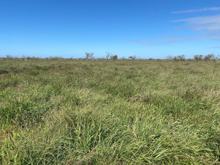
One Priority Ecological Community, the Lyell Land System, intersects the envelope across roughly a third of it. The claypans, which host the potentially new Tecticornia, are an ecosystem at risk. GGE will set the layout around both. Spectrum mapped vegetation condition as Excellent or Very Good across 58% of the envelope and Poor across 9%, the poorer ground carrying heavy weed load – buffel grass dominates the understorey almost everywhere.

The Marine Program
The terrestrial work is largely complete. The marine programme – benthic habitat survey and significance assessment, marine fauna, turtle nesting, underwater noise, light spill, fisheries, coastal processes and brine dispersion modelling – runs through the feasibility phase, and is where the assessment will be decided.
That work has begun. O2 Metocean has modelled dredge and disposal plumes to estimate impacts on benthic community habitats from trenching the export pipeline. RPS has completed a five-year metocean hindcast of winds, waves and currents, and Perth Hydro has assessed ship-loading operability for offshore export configurations, which are expected to be cheaper, with a smaller footprint, than a fixed port.
Lake MacLeod
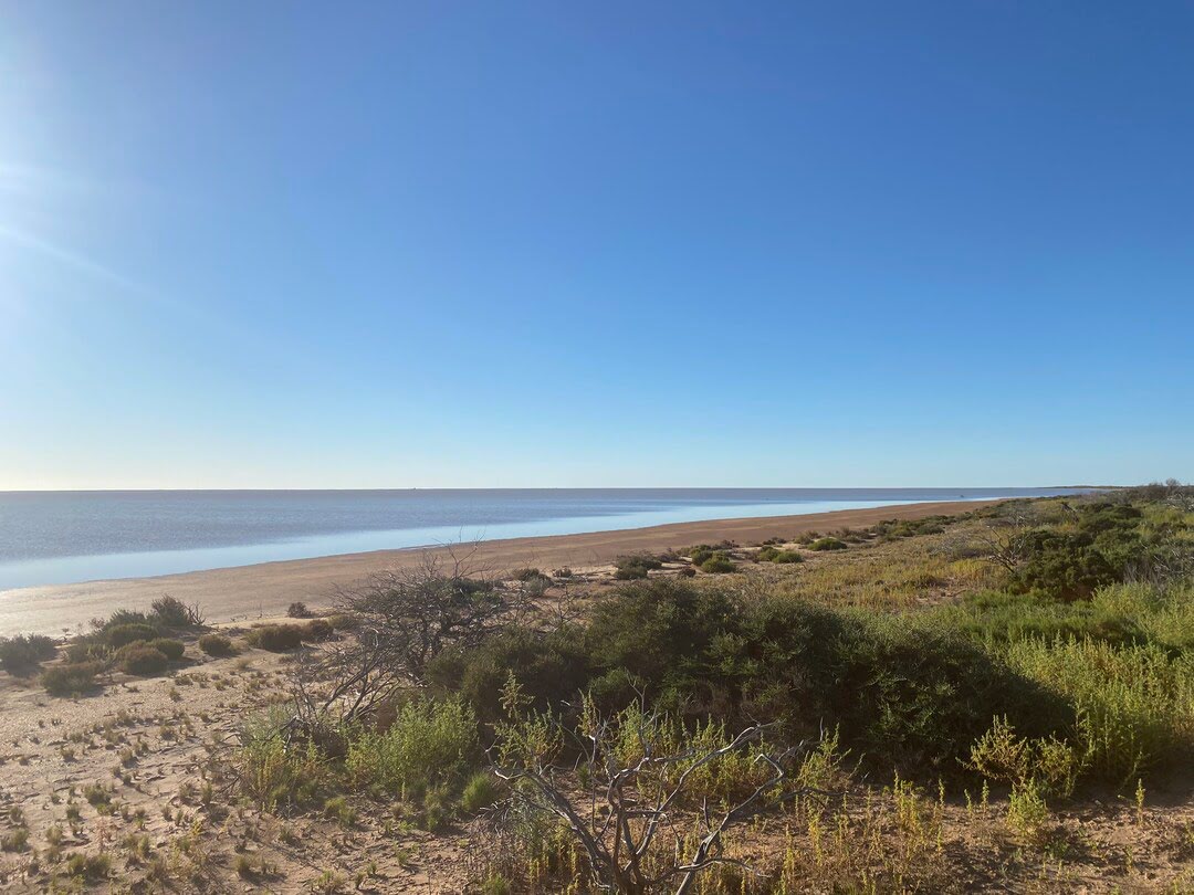
Lake MacLeod adjoins the western boundary of Boolathana and is listed as nationally important for its wetlands. The section adjacent to Boolathana is ephemeral, responding only to seasonal rain; the vent-fed mangrove and invertebrate communities that carry the listing are distant.
Where the project area overlapped Leichhardt’s Lake MacLeod solar salt mineral lease, GGE excluded the overlap, and the Department of Jobs, Tourism, Science and Innovation accepts it is not an impacted interest. GGE has met with with Leichhardt, who considered it unlikely the project would affect their salt pond operation.
GGE expects no direct impact to Lake MacLeod, and no encroachment on the Environmentally Sensitive Area will occur.
The proposed Boologooro Nature Reserve adjoins the northern boundary of the licence area. The platform is sited to avoid it, and GGE will consult the Department of Biodiversity, Conservation and Attractions and the Nganhurra Thanardi Garrbu Aboriginal Corporation, its intended joint management partners, on any activity in proximity to it.
Approvals Pathway
GGE holds a Section 91 licence under the Land Administration Act, secured in 2024, which permits the environmental and heritage survey, soil sampling and geotechnical investigation the assessment requires.
GGE scoped the study programme against the Environmental Protection Authority’s assessment protocols, with referral to follow completion of the second-year baseline. At the conclusion of that process the Minister for Environment will assess the project.
The Environmental Impact Assessment will run under State and Commonwealth law, with opportunity for public comment, and an offset strategy where impacts cannot be avoided. The platform’s off-grid design keeps it self-contained, and lets the platform use desalinated seawater rather than groundwater.
Gascoyne Green Energy welcomes questions about the proposed project.
Contact us
Have any questions?
For enquiries about Gascoyne Green Energy or
the GGE Boolathana Project please get in touch.